Ramallah – (A.M. Qattan Foundation):
On Saturday, 7 December 2019, A.M. Qattan Foundation organised a symposium entitled “Palestine from Above” at its building in al-Tireh Neighborhood in Ramallah. The symposium is part of the “Palestine from Above” project which explores technologies of mapping and imaging the Palestinian landscape from various elevations for purposes of surveillance, mapping, and art.
The speakers of the symposium were, Zeynep Celik, Distinguished Professor of Architecture at the New Jersey Institute of Technology and adjunct Professor of History at Columbia University; Salim Tamari, Editor in Chief of Jerusalem Quarterly and renowned Palestinian sociologist; Michael Talbot, Senior Lecturer in the History of the Ottoman Empire and Modern Middle East at the University of Greenwich, UK; Andrew Yip, Art historian and new media artist, his work focusses on experimental aesthetics, Australia; Maryvelma Smith O’Neil, founder and Director of ARCH Jerusalem, received her DPhil in Art History from Oxford University.
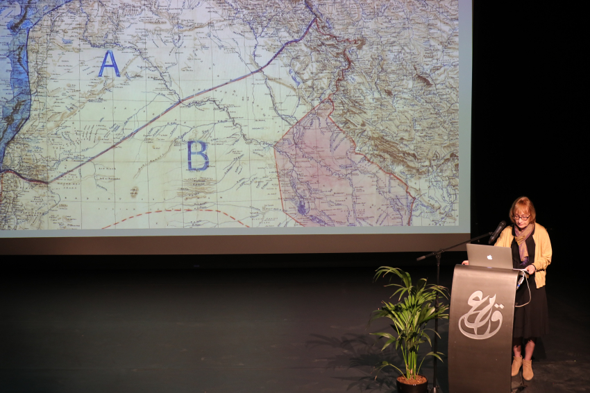
During the seminar, the researchers presented a collection of aerial photographs of Palestine, the majority of which were taken at the end of the Ottoman area, in addition to a set of photographs and paintings of Palestine and its landscape.
The seminar aims to gather a number of researchers specialized in aerial photography, and the historical eras that affected Palestine, in order to produce an exhibition and a book examining the maps and photographs collected for Palestine from Above, with the aim of seeing how Palestine transformed during the past 100 years.
This seminar is a continuation of the series of lectures and seminars implemented by the Foundation as part of its project, “Palestine From Above.” The project explores how the technology of mapping and imaging has been used to depict the Palestinian landscape from various elevations for a variety of uses: mapping, surveillance, art, planning, cartography, aerial photography and filming. It also shows how remote sensing during the Ottoman Empire, the British Mandate, and under Israeli colonialism, offered governments knowledge and power in controlling land, people, and resources. Regardless of how, why, for whom, and in what form such aerial material has been produced, the gaze on Palestine’s topography was looked upon as visual text that supported the shaping of politics, culture, economy and ideology of colonisers.
A.M. Qattan Foundation had also organized a lecture entitled “Aerial Cartography at the Threshold of Detectability” given by intellectual and architect Eyal Weizman as part of the “Palestine from Above” project.
Jerusalem Quarterly, published by the Institute for Palestine Studies, will dedicate part of its 70th issue to shed light on the Palestine from Above project, and the research that has been accomplished.